- A drill target is a place where several separate lines of evidence, such as geology, geochemistry and geophysics, point to the same spot.
- An anomaly is a reason to drill, not a discovery. Only drilling and assays show what is actually there.
Introduction
Drilling is the most expensive part of early exploration, so explorers try hard to put every hole in the right place. The work that comes before drilling, mapping, sampling and surveying, is about building a target: a spot where the evidence says a deposit might be.
This guide explains the main tools used to find targets and what each one actually measures. It also explains why an exciting anomaly is a starting point, not a result.
An anomaly is a reason to drill, not a discovery.
What a Target Is
A target is an area where separate lines of evidence overlap. A geologist might see the right kind of rock and structure on surface, soil samples with elevated metal, and a geophysical response at depth, all in the same place. Any one of those on its own is weak. Together, they justify the cost of a drill hole.
Explorers build targets from three main toolkits: geological mapping, geochemistry and geophysics, increasingly combined with remote sensing such as LiDAR.
Mapping
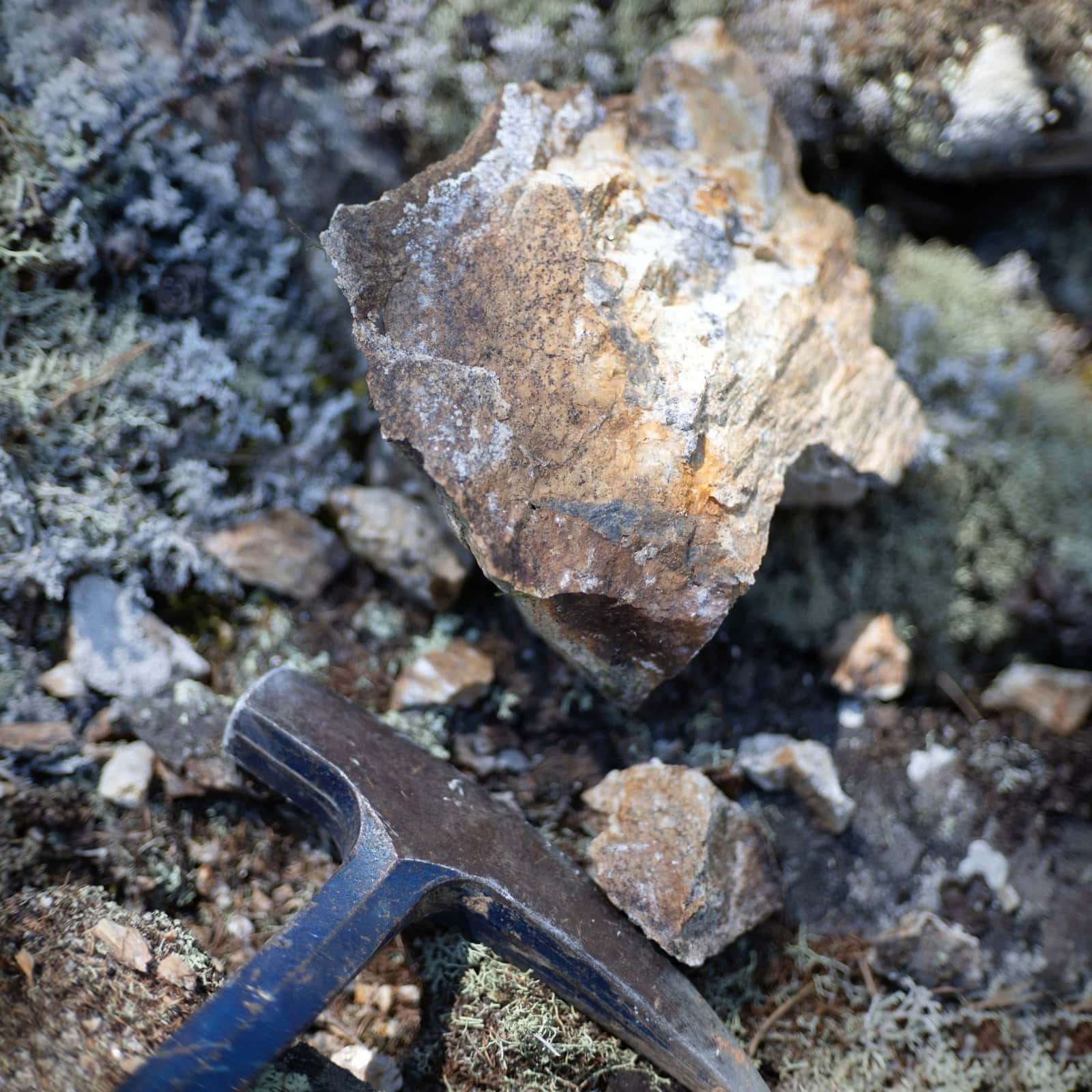
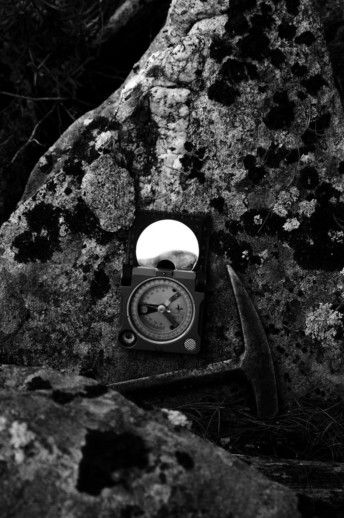
Geological mapping records rock types, contacts between them, faults, folds and alteration, which is the chemical change in rock caused by hot fluids. Many deposit types form along particular structures or in particular rock packages, so the map is the framework every other dataset is read against.
Mapping is limited by what is exposed. In much of Canada, outcrop is scarce, buried under soil, glacial deposits, swamps or forest. That is where the other tools come in.
Geochemistry
Geochemical sampling looks for metal, or pathfinder elements that travel with it, at levels above the local background.
- Rock chips and grab samples. Pieces of outcrop or loose rock. They show whether mineralization is present, but a grab sample is chosen by the geologist and can be far richer than the rock around it.
- Soil sampling. Samples taken on a grid, usually from a particular soil layer. A cluster of elevated values can outline a zone worth investigating, though metal in soil may have moved downslope from its source.
- Stream sediment sampling. Sediment from creeks carries material from the whole area upstream, which makes it useful for covering large areas quickly at an early stage.
- Till sampling. In glaciated terrain, glaciers picked up bedrock and spread it in the direction the ice moved. Research by the Geological Survey of Canada and the British Columbia Geological Survey found that metals and minerals in till can form dispersal trains extending several kilometres down-ice from a mineralized source. Explorers map these trains and work back up-ice to find the bedrock source, which means knowing the region's ice-flow history.
Till samples can also be examined for indicator minerals, grains that point to a particular deposit type. The same research describes chalcopyrite and gold grains in till as indicators of porphyry copper mineralization.
Geophysics
Geophysical surveys measure physical properties of the ground, from aircraft, drones or on foot. The main methods in mineral exploration:
- Magnetics. According to the USGS, the magnetic method measures the earth's magnetic field to infer the distribution of magnetic minerals, mostly magnetite, below surface. Different rock units and structures often have different magnetic signatures, so magnetic maps help trace geology under cover.
- Induced polarization (IP). An electrical current is passed into the ground and the survey measures how the rock holds and releases a charge. The USGS describes IP as a method for mapping disseminated metallic grains, and notes that clay-filled pore spaces can also produce a response. The USGS notes the method was developed for exploring for disseminated sulphides, where metal sulphides are scattered through the rock.
- Electromagnetics (EM). EM surveys induce currents in the ground and detect conductive bodies. A USGS study of massive sulphide deposits found EM methods detected a conductive sulphide body, and also found conductive shale in a fault zone that produced a similar response. Combining several EM methods defined the conductors better than any single one.
Gravity surveys, which measure density, are also used in some settings. Each method answers one narrow question, such as what in the ground is magnetic, chargeable, conductive or dense.
LiDAR
LiDAR is a remote-sensing method that sends out laser pulses, usually from an aircraft or drone, and records how they return. According to the USGS, the pulses can pass through gaps in foliage, so LiDAR can show what the ground looks like beneath vegetation.
For explorers in forested terrain, a bare-earth LiDAR model shows the shape of the land in fine detail. That helps map landforms, linear features and possible outcrop areas, and plan where to sample and survey. LiDAR shows shape, not composition. It does not detect metal.
Anomalies Are Not Deposits
Every one of these tools measures something indirect. An IP high may be clay. An EM conductor may be shale. A soil anomaly may sit downslope or down-ice from its source, or reflect a small, uneconomic occurrence. A magnetic feature may be an ordinary rock unit.
Even when a target does contain mineralization, the methods say nothing about grade, thickness, continuity or depth with any confidence. That is why the first drill holes on a new target often miss, or hit something weaker than hoped. A separate guide covers the stages of exploration from grassroots to resource.
Canadian rules reflect this. Under NI 43-101, when a company discloses exploration information about a material property in writing, it must include a summary of the material results, its interpretation, and the quality assurance and quality control measures applied. It cannot state tonnes and grade for a deposit that has not been estimated as a resource, except as a clearly cautioned exploration target range or a historical estimate disclosed with its required cautions.
What to Check
When a release announces a new target or anomaly:
- What method found it, and what that method actually measures.
- How many lines of evidence overlap. A target supported by geology, geochemistry and geophysics is stronger than one built on a single survey.
- Sample type and density. Grab samples and wide-spaced soil lines say less than systematic grids.
- Alternative explanations. Whether the company discusses what else could cause the response.
- The next step. Whether drilling is planned and funded.
- The interpretation. NI 43-101 requires it to be summarized; read it carefully.
Our guide to reading a junior mining news release and the news release reader help with the rest, and our guide to NI 43-101 resource estimates explains what comes after drilling. Read the company's filings on SEDAR+ and speak to your own adviser before making any investment decision.
Frequently asked questions
- Application of Geophysical Techniques to Minerals-Related Environmental Problems (Open-File Report 01-458), U.S. Geological Survey, 2001-01-01. Published 2001; no day is stated. Used for its glossary definitions of the magnetic and induced polarization methods
- Electrical geophysical investigations of massive sulfide deposits and their host rocks, U.S. Geological Survey (Economic Geology), 1985-01-01. Published 1985; USGS lists January 1
- Till composition near Cu-porphyry deposits in British Columbia: highlights for mineral exploration (Open File 7843), Geological Survey of Canada and British Columbia Geological Survey, 2015-01-01. Published 2015; no day is stated
- EarthWord: Lidar, U.S. Geological Survey, 2016-09-05
- National Instrument 43-101 Standards of Disclosure for Mineral Projects, consolidation effective June 9, 2023, Canadian Securities Administrators (via Alberta Securities Commission), 2023-06-09
This article is published by Bellmare Capital, a brand operated by Apollo Shareholder Relations, for information and education only. It is not investment advice, a recommendation, or an offer or solicitation to buy or sell any security. Bellmare Capital is not a registered investment adviser or dealer, and this is not independent research.
Apollo Shareholder Relations provides paid investor relations, marketing and communications services to public companies, including companies in the sectors Bellmare Capital writes about, and may be compensated in cash or securities. Apollo, its principals, employees and contractors may hold securities of companies discussed and may buy or sell them at any time. Where an article covers a company that pays Apollo, it is labelled Sponsored at the top with the compensation and holdings.
Information comes from public filings and other sources believed to be reliable, but its accuracy and completeness are not guaranteed, and it may be out of date. Small cap and junior resource companies are speculative and volatile, and investors can lose their entire investment. Bellmare Capital and Apollo Shareholder Relations accept no liability for any loss arising from use of this content. Read each company's own filings on SEDAR+ and consult a registered adviser before acting.
Get the next one by email.